
Wentzville Previous Residents by Era
A Wentzville address has several time layers. The St. Charles County Assessor and Collector offer current parcel or tax-account context, while the Recorder of Deeds preserves the recorded instrument trail. Historical directories and census schedules supply a different role: they may place a household at an address or rural route on a particular date. None of those sources is a complete resident list. A deed can name a person with an interest in land, and a directory entry can be incomplete or use a historical locality label.
| Source | Years It Covers | Where Held | What It Shows |
|---|---|---|---|
| Recorder index and images | Online start not located in official sources; office books or microfilm may extend earlier | St. Charles County Recorder, Tapestry, or Laredo | Grantor, grantee, instrument, legal description, recording date, and image |
| Assessor and Collector | 2026 certified values and current tax-account context; earlier start not located in official sources | County portals | Parcel characteristics, assessment, sales, and current tax context |
| St. Charles directories | 1891-92, 1906, 1908-09, 1910, 1916-18, 1921-22, and listed 1925-61 runs with gaps | Library, Historical Society, and inventory leads | Names and address clues, with Wentzville coverage checked volume by volume |
| Federal census | Released through 1950 | National Archives and library databases | An enumerated household on the census date, not current status |
| City permit files | Current files may help after 1960; older retention is uncertain | Wentzville records-request route | Building, occupancy, or date clues when an existing file is released |
The strongest starting point depends on the question. Use the parcel and legal description to keep a property trail together. Use a dated directory or census image when the question is about past residents rather than title. The 1906 county directory is a useful Wentzville lead because it has a short Cuivre Township rural-route listing, not a dedicated city street roster. A missing street address in that volume does not settle whether a household was in the area.
Anchor a Wentzville Address Trail
Begin a Wentzville previous-residents search with the St. Charles County Assessor and the county or city GIS layer. The Assessor form supports fields such as account, street, city, ZIP, subdivision, last sale date, and parcel ID. Its Street field is an address clue, not a documented owner-name search. Save the account number, parcel identifier, legal description, subdivision name, and the date the result was viewed. Those details remain more stable than an old street number alone.
GIS supplies location context and helps compare a current parcel with a historic address form. The county map and Wentzville map show parcel, road, and civic-boundary layers, but they are not legal surveys. Keep the map date and layer name with the result. A postal Wentzville label, city limits, planning boundary, and county parcel can each describe a different geography. The Recorder legal description is the stronger bridge when a lot split, renumbering, or subdivision name creates uncertainty.
Note: Preserve the parcel identifier before searching names, because it can connect later record images even when the address formatting changes.
Trace Wentzville Deed Records Backward
The St. Charles County Recorder’s land-record search is the core title source for past Wentzville owners. Tapestry documents Grantor/Grantee, Document Number, beginning and ending recording dates, Legal Description, and Document Types as its search paths. The county cautions that not every legal description is indexed. Record the names exactly as shown, along with the instrument number, document type, recording date, book or page reference when present, legal description, and whether an image is available.
- Use the current parcel details to locate a recent recorded instrument through the Recorder’s index.
- Read the grantee and grantor roles on that instrument, then retain its document number and recording date.
- Search the seller as a grantee to locate that person’s earlier acquisition, checking the legal description against the same parcel.
- Repeat the role change backward, stopping when the legal description shifts or the result is only a name match.
- For older material or a missing online result, use the Recorder’s in-office books or microfilm path and ask for the specific record series.
A chain of title is a sequence of recorded transfers or interests, not a timeline of everyone who occupied the house. The Recorder’s guidance specifically calls for corroboration when residency matters. Pair a recorded name with a dated directory, census, voter record where lawfully available, return-address letter, or contemporaneous newspaper item. That extra source should match the same address or a demonstrated parcel connection.
Use Wentzville Tapestry Deed Fields
The Tapestry land-record service is an occasional-user remote route for the Recorder’s grantor-grantee work. County quick-reference material lists an $8.75 search with an image included and $1 per printed page. Laredo is the subscription option. Remote access is useful for an initial sequence, but the county also identifies free in-office land-record searching, which remains important when a historical address needs a longer review.
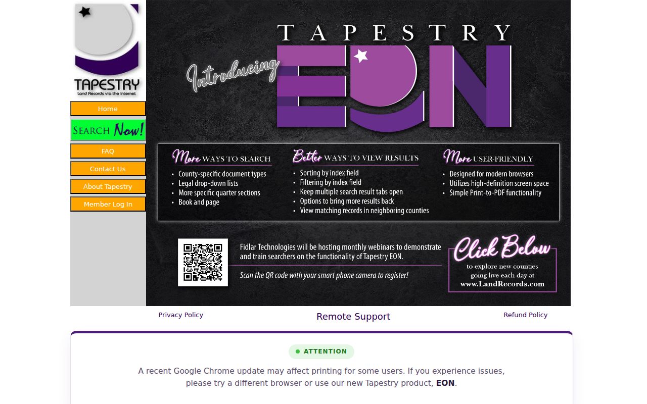
Use the documented field labels to build a narrow deed query, then compare every hit to the parcel’s legal description rather than relying on a familiar surname. The research did not locate an official online index start date, so a no-result online search does not identify the earliest possible Wentzville record. The Recorder can clarify what remains available at the counter or through a copy request.
- Grantor
- The person or entity conveying an interest in the recorded instrument.
- Grantee
- The person or entity receiving the recorded interest.
- Chain of title
- An ordered record of linked land instruments for the same legal parcel.
- Legal description
- The lot, subdivision, or metes-and-bounds description used to identify land more reliably than a changing street address.
Read Wentzville Tax Account Context
The St. Charles County Collector is helpful for current owner and tax-account context, but it does not replace the Recorder’s historic chain. A tax account can help confirm that the right parcel is under review and can provide a current reference point before the deed search begins. The available research does not establish its exact search fields or a historical coverage start, so those details should not be assumed from the page shell.
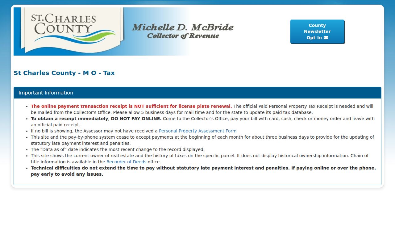
The Collector view belongs beside, not ahead of, the Recorder workflow. Assessment and tax information can show current parcel context or sales clues. A recorded deed supplies the instrument-level information needed to test a transfer. The distinction prevents a current tax display from being misread as a complete history of earlier households at a Wentzville address.
Note: Record the portal’s as-of date, since a current account screen cannot establish an earlier household or transfer by itself.
Pair Wentzville Directories and Census
Once a parcel or deed identifies an era, use the St. Charles City-County Library genealogy service for the human side of the address trail. Its local-history resources include city and area directories, phone books, newspapers, maps, family histories, and census databases. Missouri Digital Heritage explains that directories may include residents, places, addresses, forwarding details, and other clues, but the research did not locate a dedicated digitized Wentzville directory run. The historical collection must be checked volume by volume.
- Choose a directory year close to the recorded transfer or the apparent address era.
- Transcribe the printed name, address or rural route, locality label, volume year, publisher, page, and source image.
- Match that year to an available census schedule, remembering that the latest broadly released federal census is 1950.
- Compare spellings, household composition, street form, and locality labels before linking the two records.
- Use a newspaper, obituary, church, cemetery, or Historical Society source to resolve a gap, not a guess.
Directories and census schedules are dated snapshots. A directory listing may show a head of household, while a census record reports the enumerated household on one census date. For collection details, consult the Wentzville City Directory. That comparison is more useful than treating a historical name as proof of a continuous stay.
Test Wentzville Historic Address Variants
Wentzville address history includes leads that deserve care. Research identified South Main/Main, North Main/Allen, and Second/Pearce as historic name pairs, with changing numbers also reported. The underlying DNR-hosted historic-downtown survey link returned 404 during research, so these are leads rather than confirmed bridges for a specific property. Test both the old and current form, but label any connection as unresolved until the parcel, legal description, map, or original document supports it.
The most defensible same-house test uses several records: a modern address, historic form, parcel or account number, Recorder legal description, map layer, directory entry, and dated newspaper notice. A similar number is not enough. This local address problem is why previous-residents research should preserve the exact text and date from each record. It is also why the legal description often matters more than a street string.
Define Wentzville Address Records
Recorded instruments, assessment records, maps, and historic directory entries all use an address differently. A parcel is a defined tract in a county record. A situs address is the property location used by an assessment record. A plat is the recorded map that lays out a subdivision or lots. An enumeration district is the census area used by an enumerator. Keeping those terms separate helps distinguish a precise parcel connection from a broader neighborhood or locality reference.
The St. Charles County Historical Society holds indexes and archives that include land and property references, census material, obituaries, cemetery records, and other historical sources. Originals are not all online, so a research request or in-person visit may be needed after an index lead. Use the smallest set of identifying information needed to distinguish records, and keep a source log with the role, date, access date, and confidence level for every Wentzville previous-residents finding.
Note: Mark a name-only match as a lead until the address, parcel, date, and record role support the same conclusion.
Limit Wentzville Previous Resident Research
House history, family history, and estate or heir questions can require careful record comparison. They do not justify compiling a current profile of a living person. Missouri Safe at Home can provide a substitute address for eligible participants, and some voter residential addresses may be closed under the statutory process. Utility accounts, private delivery information, and restricted vital records are not substitutes for a historical address trail.
When an image, date, or address connection remains uncertain, ask the custodian for the existing record series rather than asking for a person profile. Missouri Sunshine Law requests should identify the record and office, and closed portions may be segregated from releasable material. That path respects both the limits of the records and the people described by them.